This post is also available in:
![]()
![]()
![]()
When done well, maps can help journalists reveal and explain trends and patterns they’ve discovered through reporting.
In the Knight Center’s latest MOOC (Massive Open Online Course), two senior developers from the Texas Tribune will teach how to create and use maps to do just this.

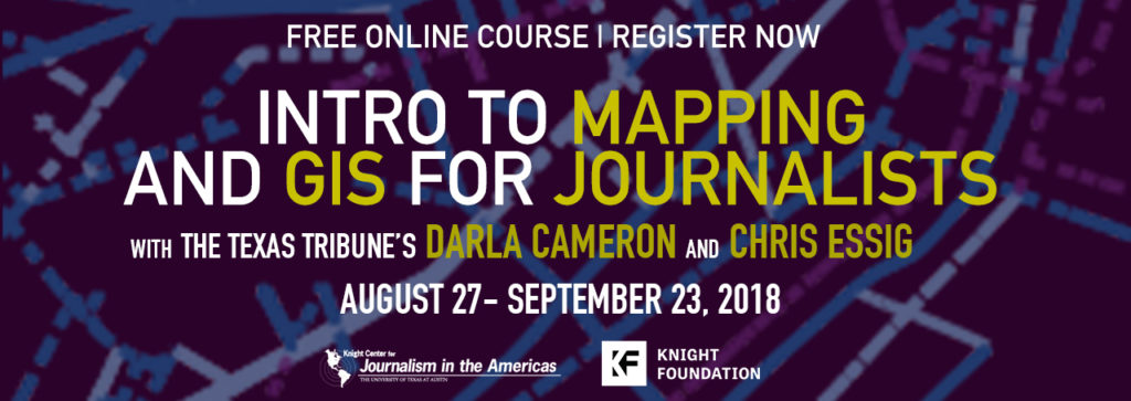
Darla Cameron, senior designer and developer, and Chris Essig, designer and developer from the Texas Tribune, will teach the free, four-week course “Introduction to Mapping and GIS for Journalists.”
The course is offered for free thanks to support from the John S. and James L. Knight Foundation. It will run from Aug. 27 to Sept. 23, so register now!
“Maps can be both beautiful and truth-telling,” Essig said. “When readers come across impressive maps, they stop and absorb the data, picking up on its patterns in a memorable way. In this course, we’ll teach you how you can provide this type of experience for your readers, whoever they are.”
In addition to understanding which kinds of datasets will translate into good maps, students will learn how to use free GIS (Geographic Information Systems) software to explore, analyze and visualize data to use in their reporting. At the end of the course, they will be able to visualize and summarize geographic data into maps that can be published.
Cameron and Essig will teach the course using video-classes, readings and exercises, discussion forums and quizzes.
“Maps can help journalists tell great stories, and we’ll teach the basics of how to find geographic data, analyze and display it effectively,” Cameron said.
“This course will teach students best practices for making maps for storytelling purposes. It’ll cover important geographic concepts, such as geocoding, and how to analyze data sets to create complex maps,” said Mallary Tenore, the Knight Center’s assistant director.
For years, the Knight Center has been helping journalists from around the world learn cutting-edge tools and technology to improve journalism — through courses on data visualization, Python, d3, the programming language R, and more.
“This mapping MOOC is a continuation of these efforts and a great chance for journalists to develop new map-making and GIS skills and hone their existing ones,” Tenore said.
The course is meant to help journalists but it is open to anyone interested in geography, map making, data visualization and visual storytelling. You don’t need any experience in these topics, just a sense of what makes a good story.
Students need an internet connection and web browser, as well as the geographic information system application QGIS.
The Texas Tribune, where both instructors work, is an award-winning, non-profit news organization covering politics and public policy in Texas.
Darla Cameron is a senior data visuals developer at the Tribune. She previously worked as a graphics editor at The Washington Post, covering the intersection of money and politics. She also worked as a news artist at the Tampa Bay Times and was a fellow at the Poynter Institute. She taught mapping and graphics at the University of Missouri and has been recognized by various organizations, including the Society for News Design.
Chris Essig is a data visuals developer at the Tribune. He previously was a developer at The Gazette in Cedar Rapids, online editor at the Waterloo-Cedar Falls Courier and an adjunct professor at the University of Northern Iowa, where he taught multimedia and data journalism.
As with all Knight Center MOOCs, the course is asynchronous, meaning the activities can be completed during the days and times that best suit the students. However, there are recommended deadlines so they don’t fall behind.
Participation in the course is free. However, students can pay an administrative fee of U.S. $30 for a certificate of completion. The certificate is available for download in PDF format after the Knight Center completes a review process to ensure the student met the requirements. No formal college credit is associated with this certificate.
Sign up now for “Introduction to Mapping and GIS for Journalists.”
About the John S. and James L. Knight Foundation
The Knight Foundation is a national foundation with strong local roots that invests in journalism, the arts, and in the success of cities where brothers John S. and James L. Knight once published newspapers. Its goal is to foster informed and engaged communities, which it believes are essential for a healthy democracy. For more, visit kf.org.
About the Knight Center
The Knight Center for Journalism in the Americas was created in 2002 by Professor Rosental Alves, Knight Chair of Journalism at the Moody School of Communication at the University of Texas, thanks to the generous donations of the John S. and James L. Knight Foundation. The Knight Center’s distance learning program began in 2003 and is funded in part by the Knight Foundation. Over the past six years, Knight Center MOOCs have reached more than 150,000 people in more than 175 countries.